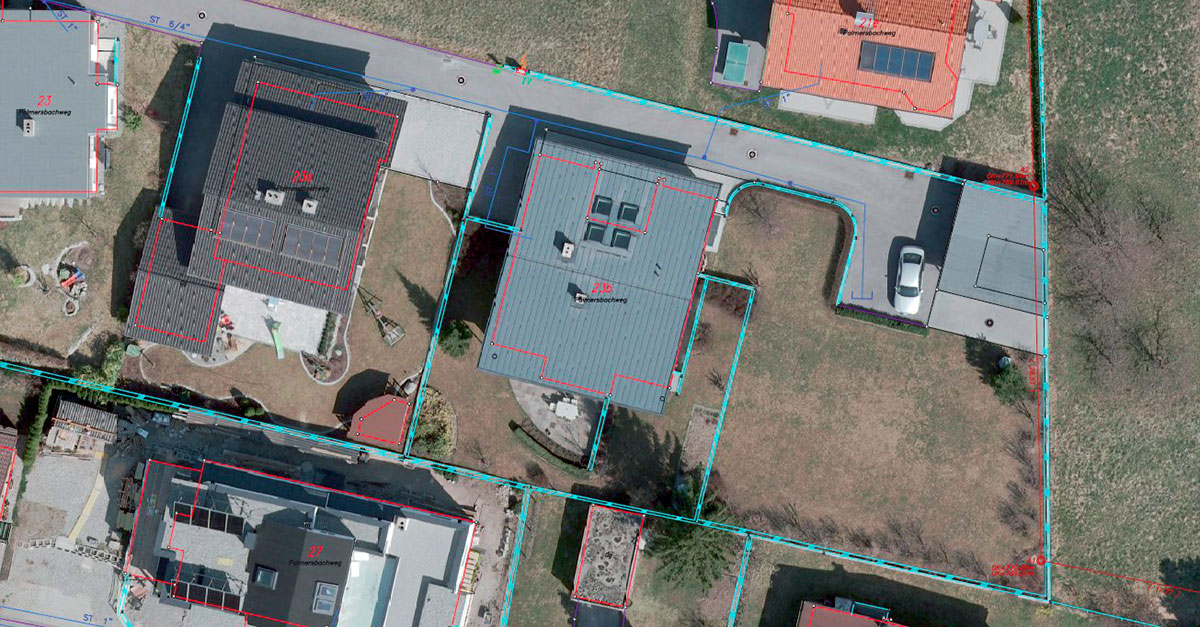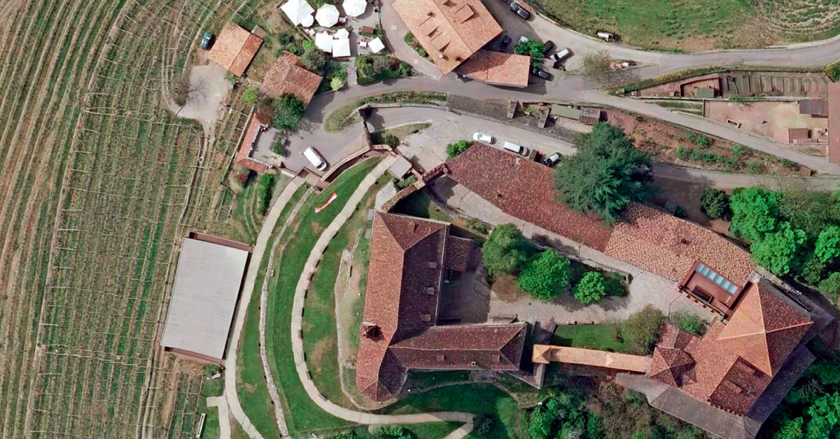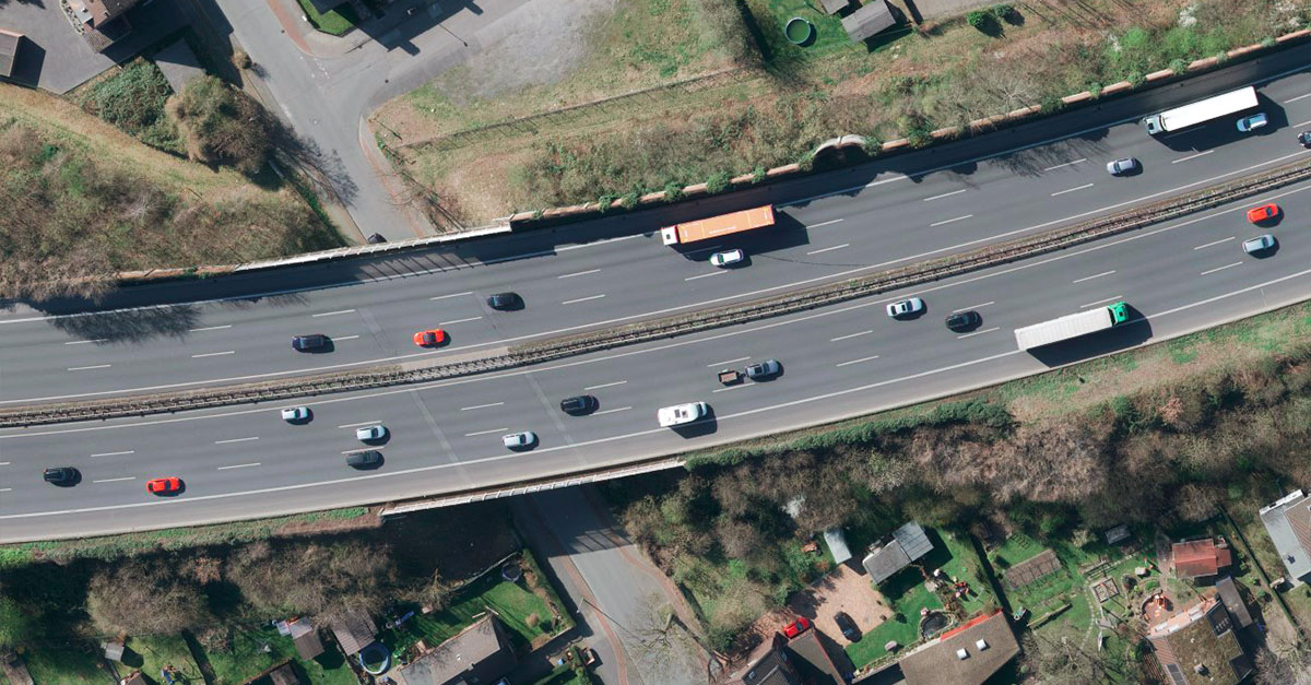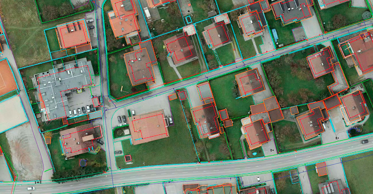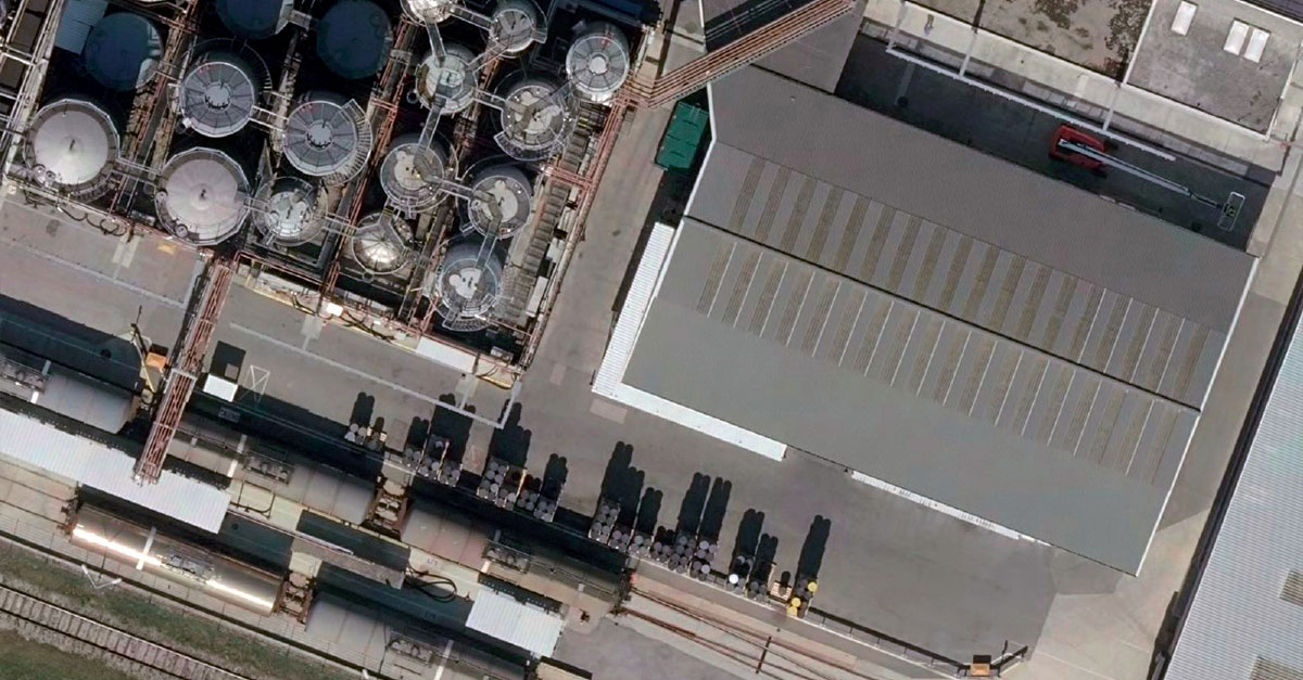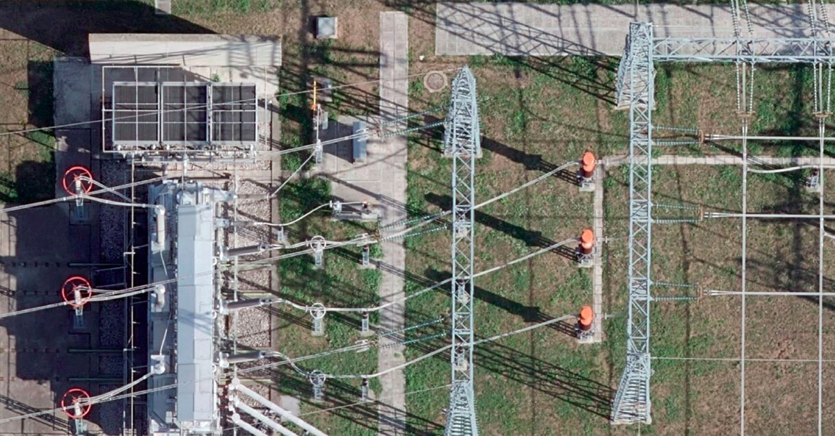
Orthophoto
An orthophoto is generally a photo with the geometry of a map.
Orthophotos are created from many individual, oriented aerial images. The aerial images are rectified using a digital elevation model and combined into a homogenous mosaic of orthophotos by means of appropriate corrections and colour matching between the individual aerial images.
Basically, we produce orthophotos with resolutions from 2cm to 20cm. In particular, the demand for high-resolution orthophotos in the 5cm range has increased strongly in recent years. They facilitate work in administration, are integrated into GIS systems and many different follow-up products can be created.
In addition to conventional orthophotos (based on the terrain model), we also produce new 'true orthophotos' without the effect of building leaning (based on the surface model).