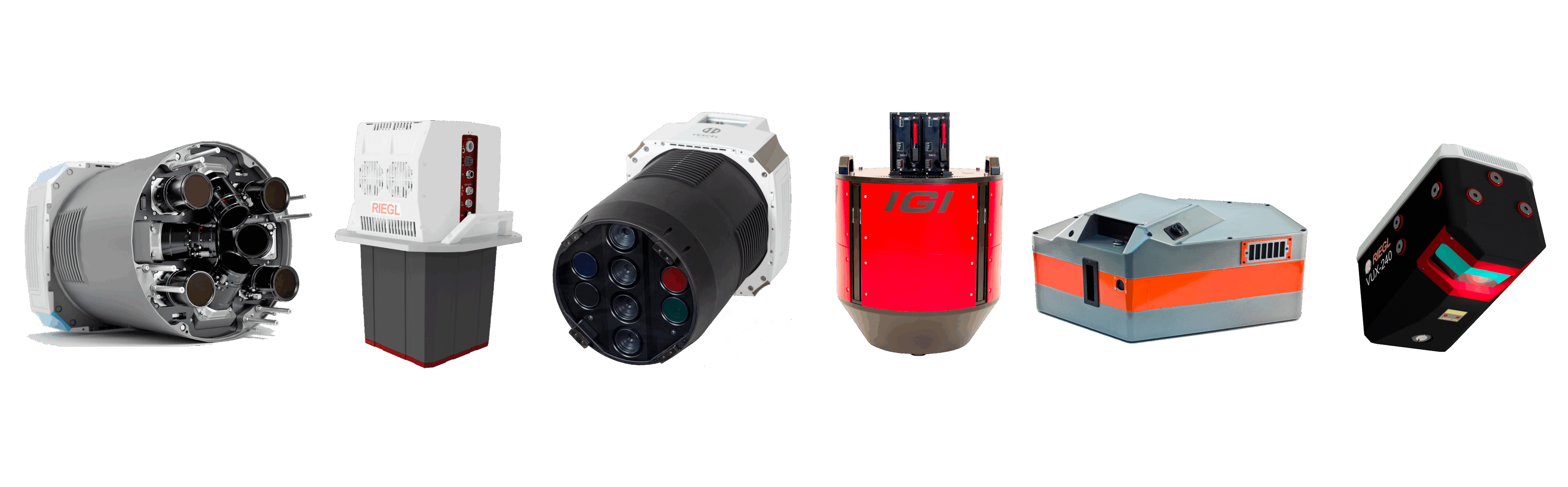
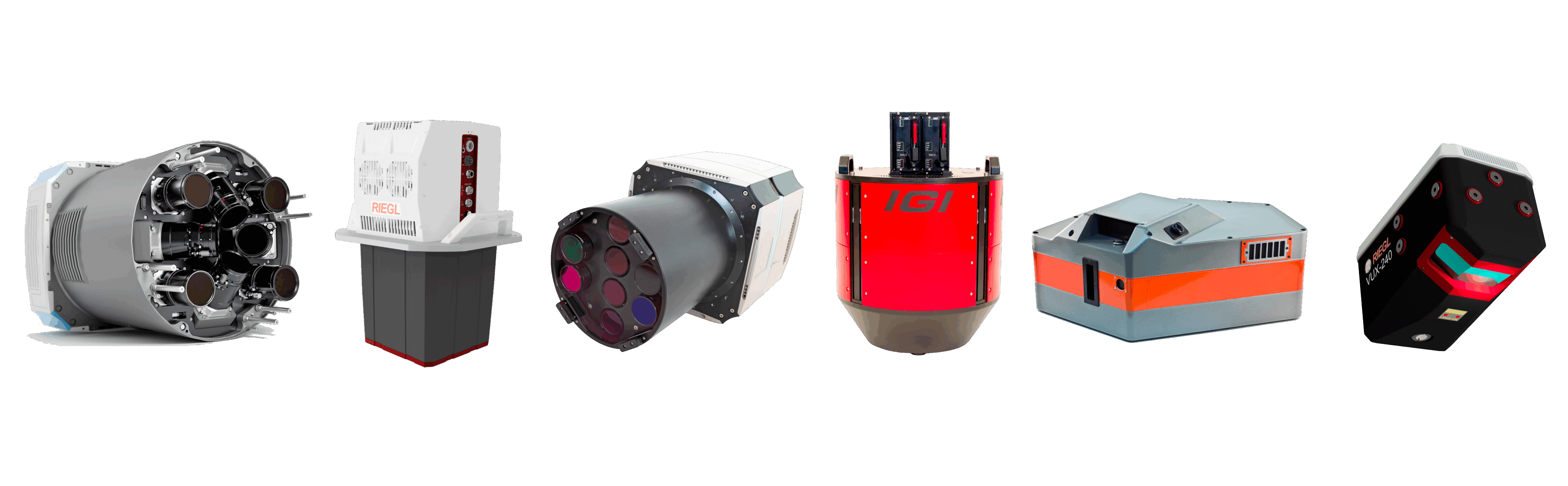
Sensors
UltraCam Eagle 4.1
With our Nadir flagship UltraCam Eagle 4.1 can be used for vertical flights with a ground resolution of 2cm - 30cm.
In combination with our fastBeech B200 Super King Air, large areas can be captured quickly and efficiently.
The RGBI nadir camera has an image size of 28,110 x 18,060 pixels - 508 megapixels with a pixel size of 3.76μm
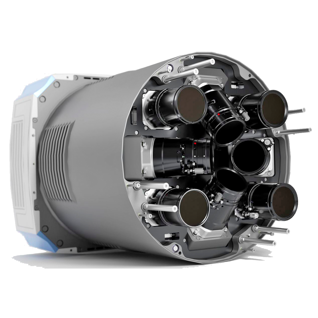
UltraCam Osprey
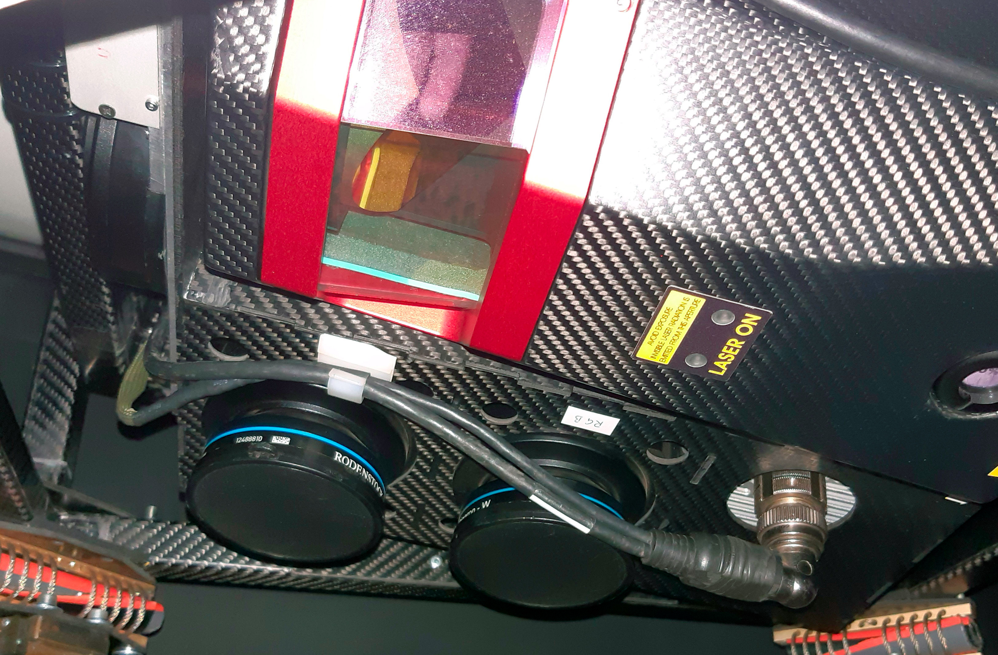
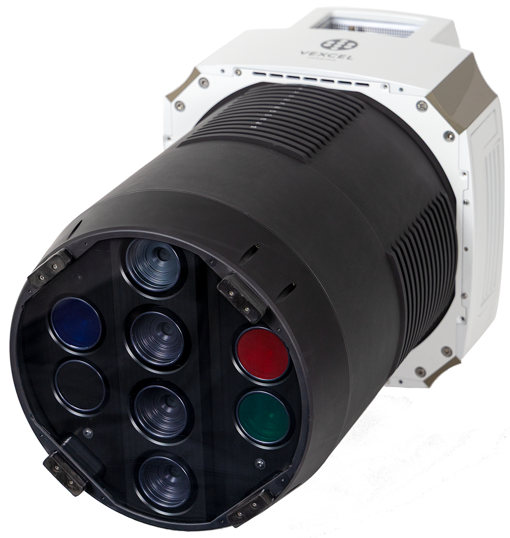
With our oblique systems, four oblique aerial images are taken simultaneously to each vertical aerial image at a viewing angle of 45 degrees to the front, rear, right and left. The ratios of the focal lengths are designed so that the ground resolution in the vertical and oblique images is equivalent.
We carry out our flights primarily with the latest generation Osprey 4.2 from Vexcel imaging through.
The RGBI nadir camera impresses with 25,024 x 19,008 pixels - 475 megapixels with a pixel size of 2.81 μm. The short trigger interval of 0.7 seconds enables us to carry out high-resolution flights up to 1.5 cm GSD with a high longitudinal overlap of 80%. The four RGB oblique cameras have an image size of 19,136 x 12,736 - 243 megapixels. The focal lengths are 80 mm in the nadir and 124 mm in the oblique range.
If required, we use our second oblique camera Osprey 4.1, which is also very powerful. The image sizes are 280 megapixels (Nadir) and 150 megapixels (Oblique).
For small-scale oblique image projects, we use our ShareUAV 203 S pro system, which is designed for drone flights. This system comprises five sub-cameras (Nadir, Oblique), each with 45 megapixels.
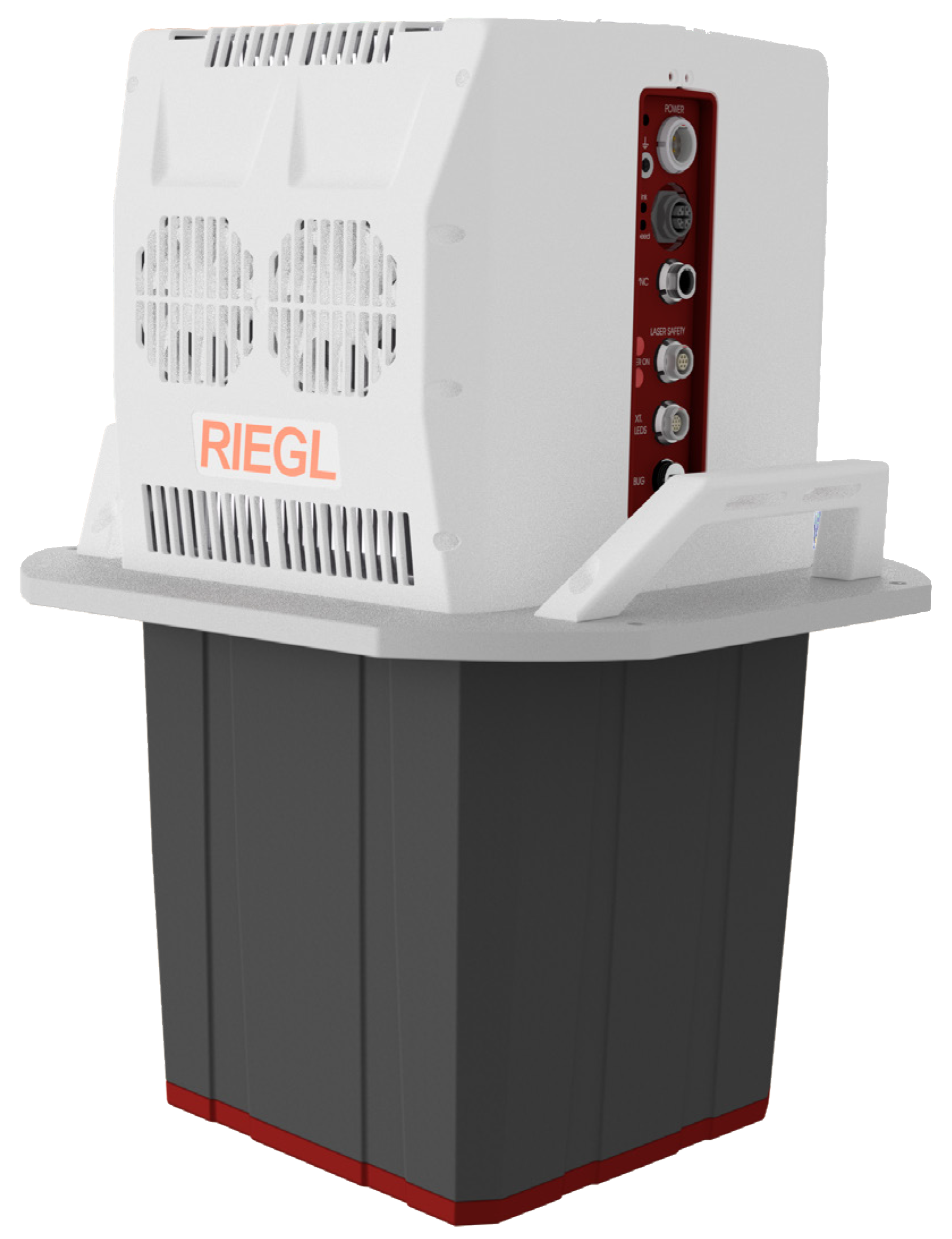
Riegl VQ-680
Our Riegl VQ-680 laserscanner is a state-of-the-art airborne laser scanner optimized for urban mapping, forestry, and power line mapping. It features an innovative scanning mechanism that delivers forward, nadir, and backward scan lines in the flight direction of +20 / +10 / 0 / -10 / -20 degrees. This enables excellent coverage of vertical structures such as building facades, as well as the capture of the floor of narrow urban canyons with minimal to no shadowing.
IGI Dual-DigiTHERM
The measuring system currently comprises three imaging sensors - two thermal cameras and one RGB camera. The two thermal cameras operate in the spectral range from 7.5 µm to 14.0 µm (long-wave infrared, LWIR). The combination of two LWIR sensors results in an effective total strip width of 2000 pixels across the direction of flight, which means that the flights can be carried out very efficiently. The RGB camera has an image size of 150 megapixels and primarily supports the interpretation of LWIR data recorded during the day.
Specim AisaFENIX
For the acquisition of hyperspectral images by aircraft we use the AisaFENIX Sensor from SPECIM. This sensor simultaneously detects in the VNIR and SWIR spectral range (380 nm - 2500 nm) and captures up to 622 spectral bands.
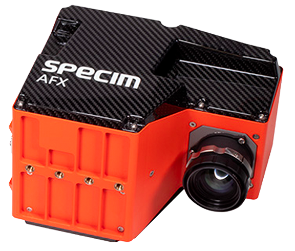
Specim AFX10
SPECIM AFX10 is a hyperspectral sensor in the VNIR range (400 to 1000 nm). Weighing just 2.1 kg, it can be flown in UAVs, helicopters and light aircraft.
The activities for the development of the services with Specim AFX10 sensor are co-financed by 6/99 law of Autonomous Province of Trento through MAPPIS project.
Integrated RGB/NIR/Laser system
For aerial surveys of corridors or small to medium-sized areas (up to several hundred km²), we operate a specialized measuring system in a light aircraft. The sensors include two PhaseOne cameras (RGB and near infrared, NIR) for the production of four-channel aerial images with 150 megapixels as well as a Riegl VUX240 laser scanner with a pulse rate of up to 1.8 MHz. Thanks to the system's very powerful gyro-based stabilization, even curved flight paths (e.g. along rivers, roads or railroad lines) can be recorded. The economical flight and synchronous data acquisition enable the efficient production of high-quality remote sensing data.