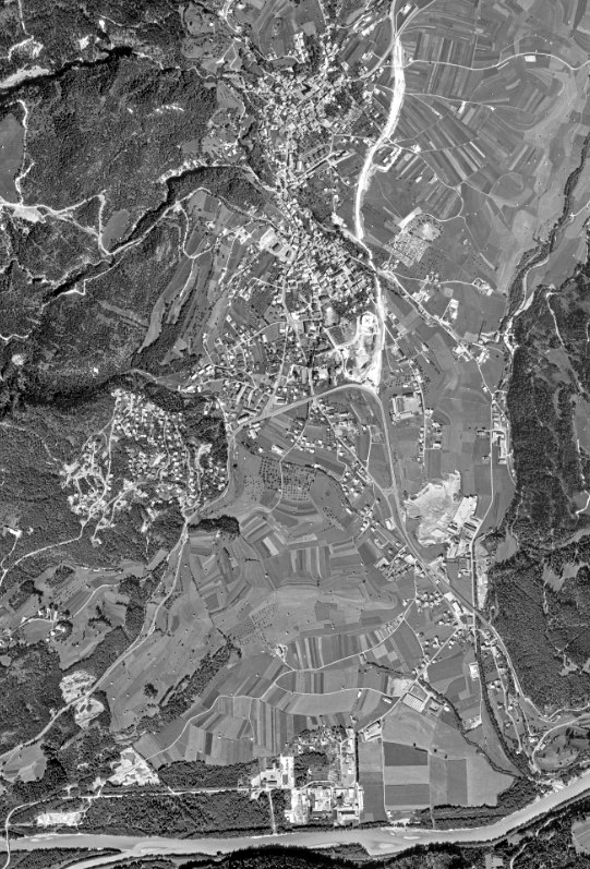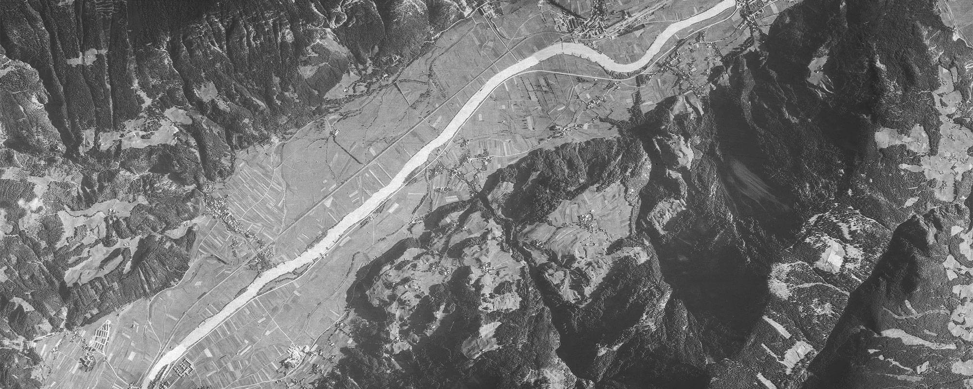

Historical Orthophoto
The production of orthophotos from historical aerial photographs presents a particular challenge. In most projects, very little information is known about the cameras used, usually little more than the focal length. Often there are no clues about the main image points and lens distortions, sometimes the image dimensions are not clearly documented, and often there are no precisely defined frame marks. Most images have undergone one or more reproduction passes before being scanned. Furthermore, photogrammetric scanners are usually not used for digitisation in aerial photo archives.
All these points lead to the fact that the exact determination of external (and internal) image orientations is not possible for photogrammetric aerotriangulation. In the course of various projects, we have acquired various workflows in order to be able to create an orthophoto mosaic from these aerial images anyway. This requires data from existing orthophotos. The smaller the time difference with these existing orthophotos, the better the result.
The accuracy of the georeferencing of each individual image and thus of the mosaic depends mainly on the quality of the already available orthophotos from which the control points were derived.