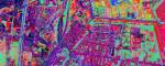
Hyperspectral imaging
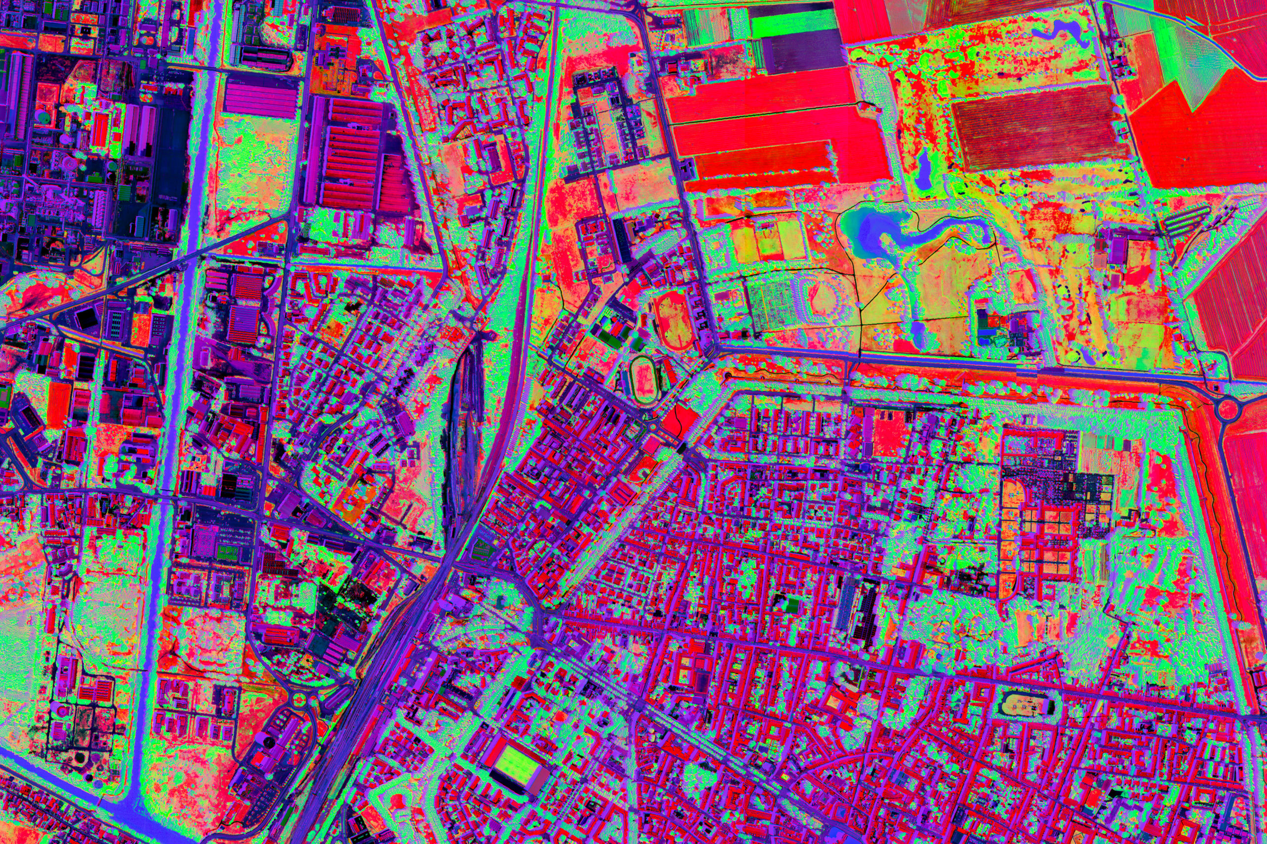
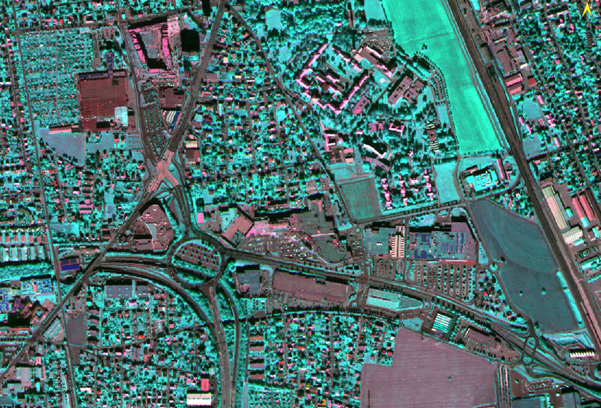
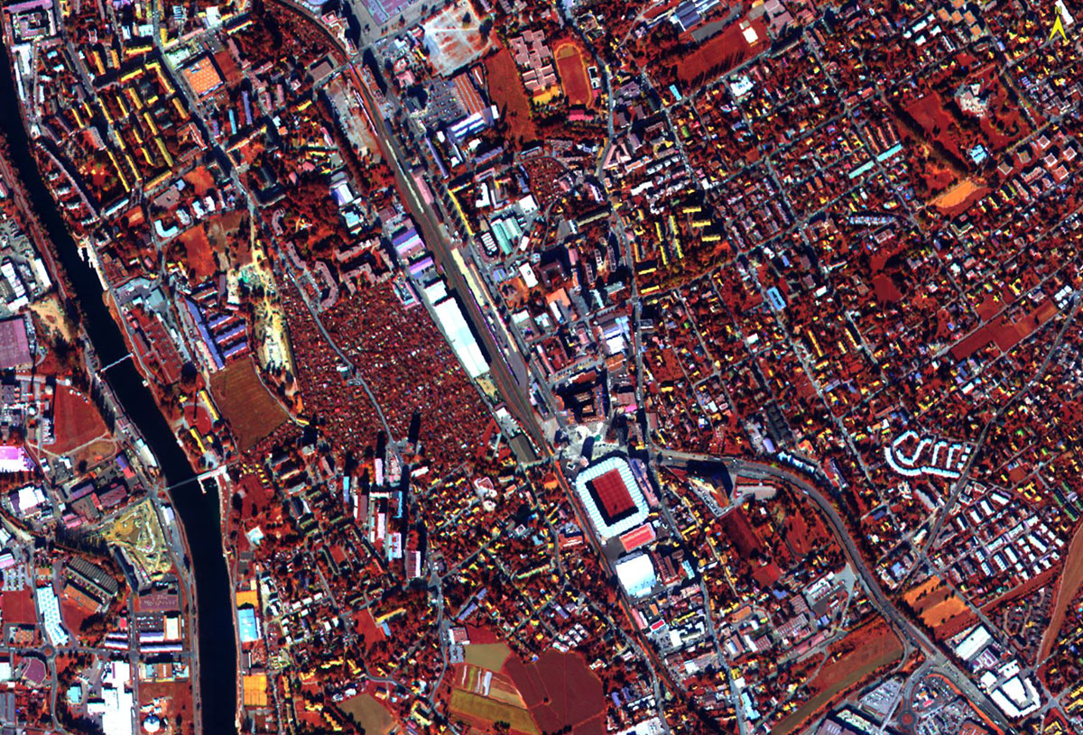
Hyperspectral sensors make it possible to measure the radiation reflected by objects in hundreds of continuous bands, enabling the reconstruction of what is called a 'spectral signature'. This is unique to each object on the surface and depends on its composition. A hyperspectral image therefore contains hundreds of intensity values of electromagnetic radiation distributed over the spectral range of the sensor used in each pixel.
Hyperspectral technology has evolved over the last 30 years, gaining acceptance in a variety of fields, from medicine and military to environmental applications. Hyperspectral aerial images enable the acquisition of hundreds of spectral bands with high geometric resolution, thus providing important data for remote sensing analyses, such as:
- Geology: mineral mapping and monitoring of polluted sites.
- Forestry: mapping of forest species, identification of invasive species, health status analysis and quantification of biophysical metrics.
- Agriculture: identification of water stress, health status, mapping of invasive species and soil quality study.
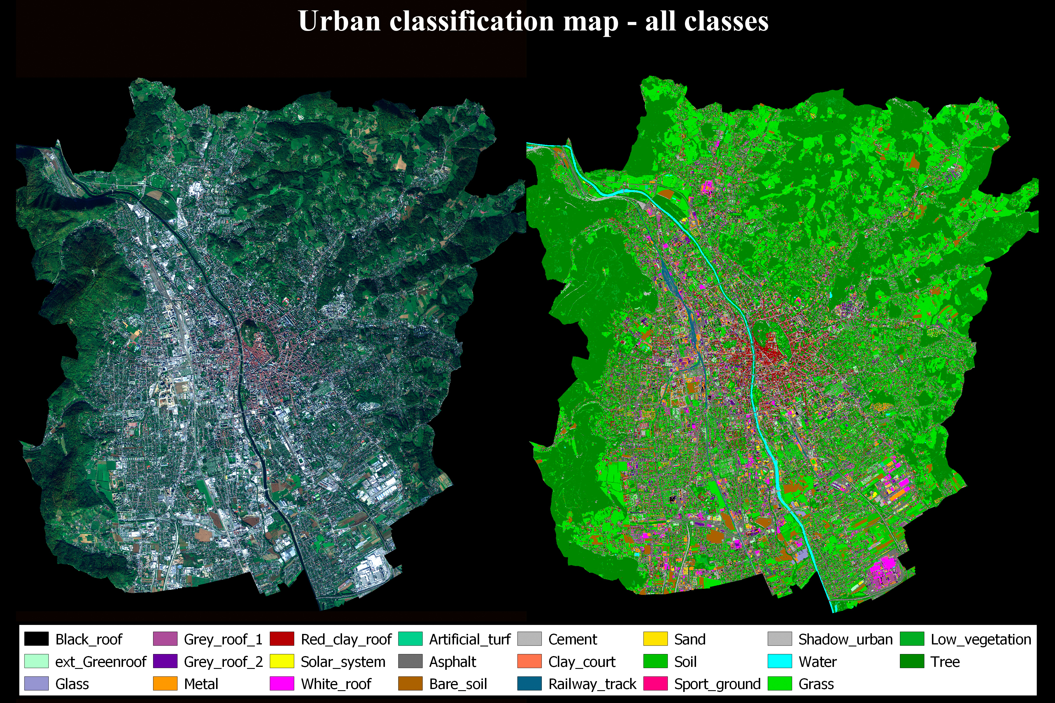
- Urban: detailed classification of roof and ground materials, classification of urban tree species.
- Water bodies: water stress, presence of anthropogenic pollutants, quantification of chlorophyll and organic matter content.
Before analysing the hyperspectral images, due pre-processing operations are carried out, involving radiometric correction, geometric correction and finally atmospheric correction.
Some of the activities shown on the website are governed by Law 6/99 of the Autonomous Province of Trento on the MAPPIS-project.