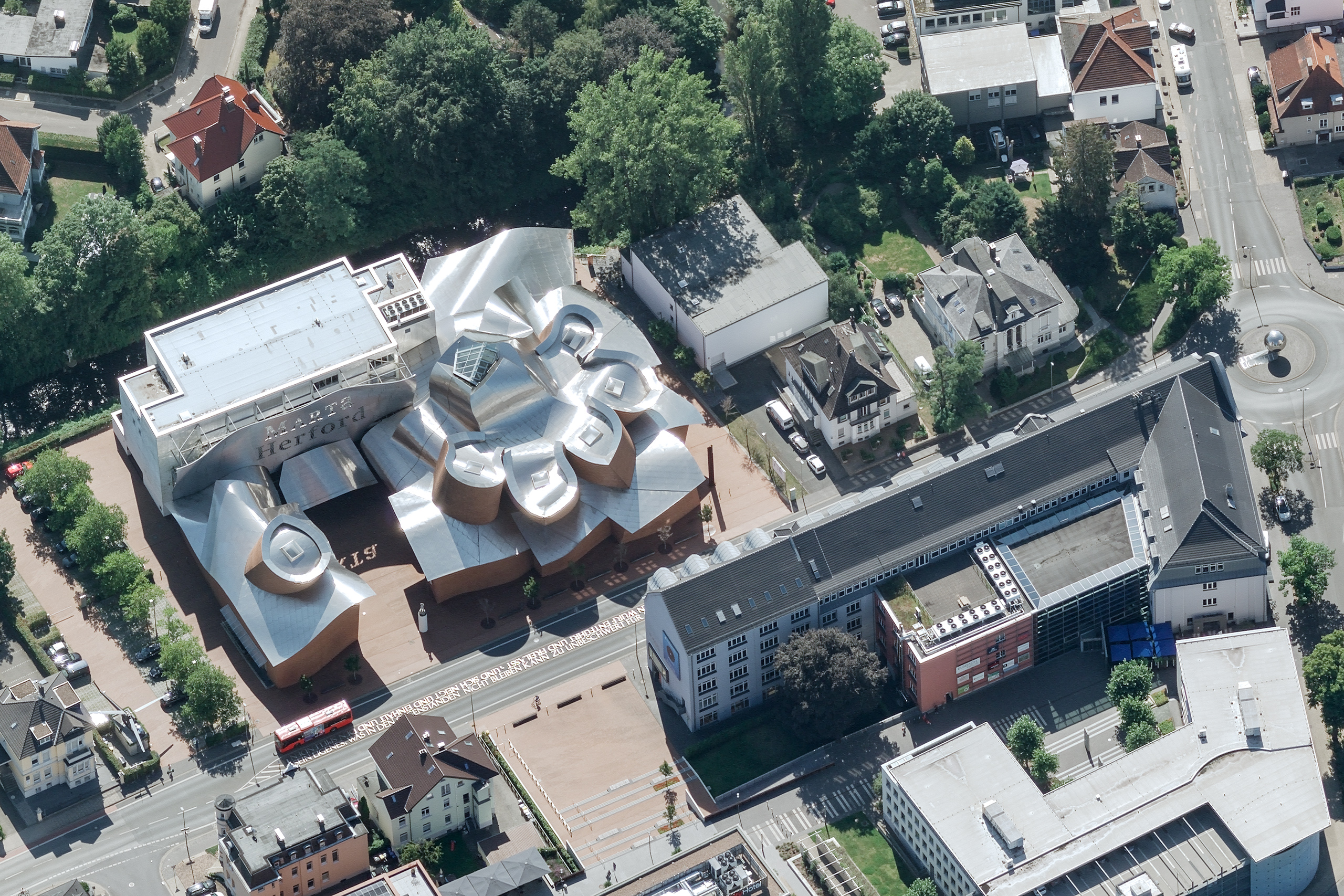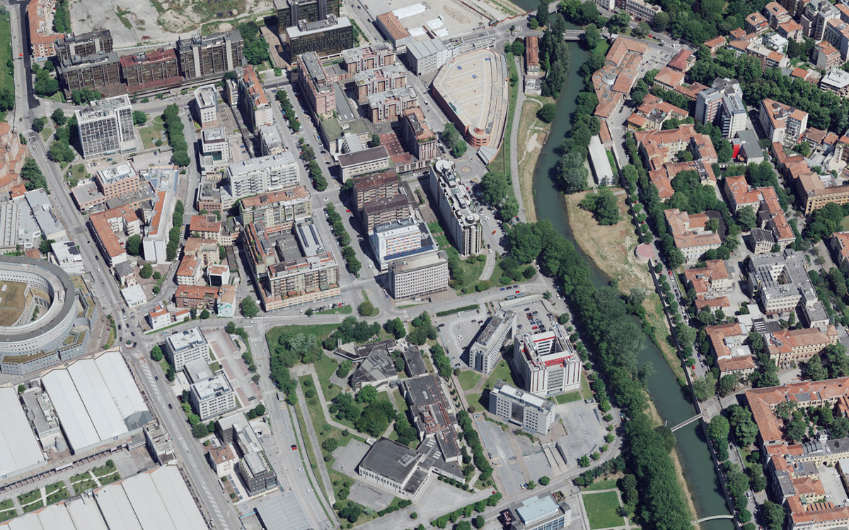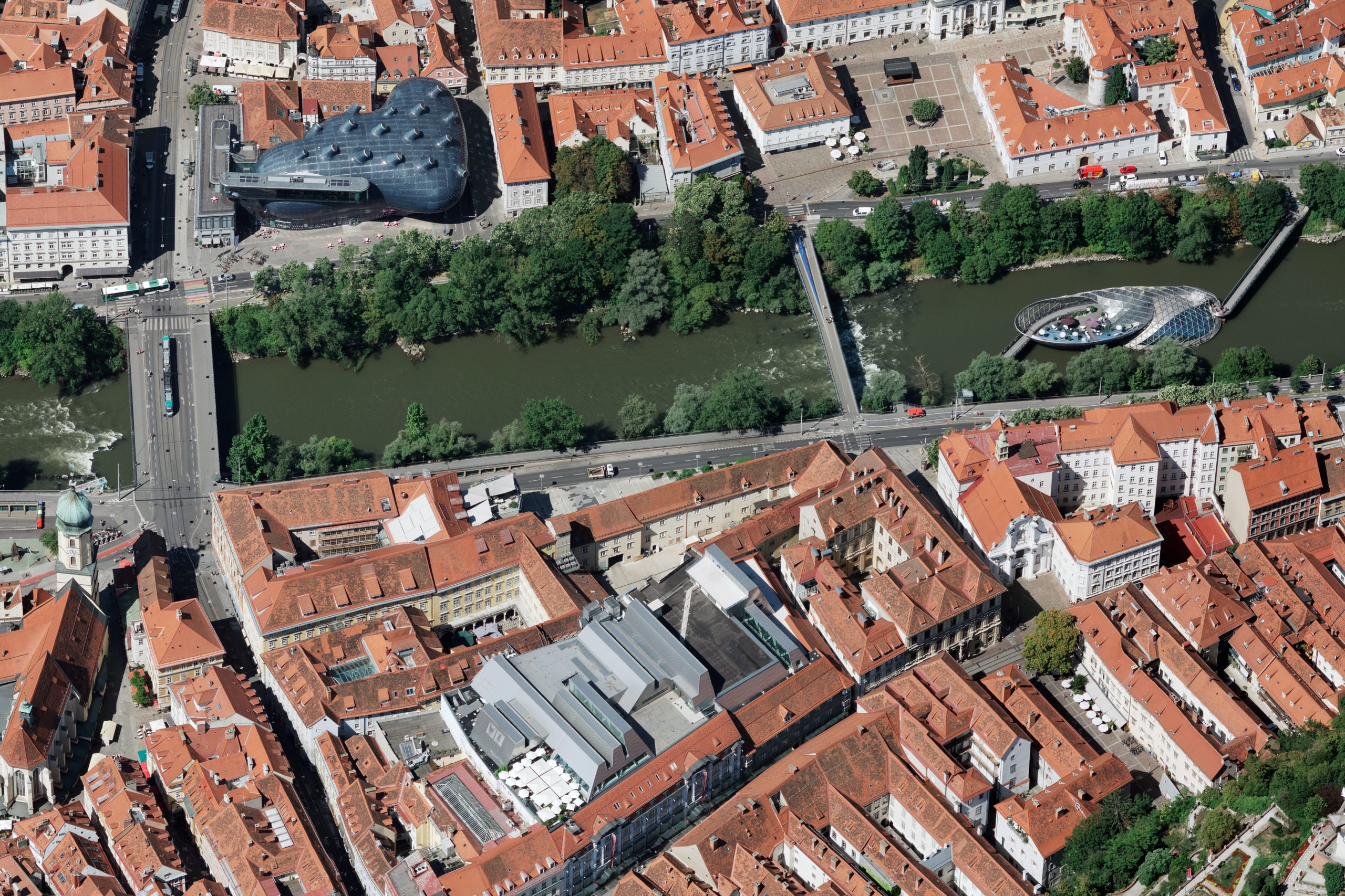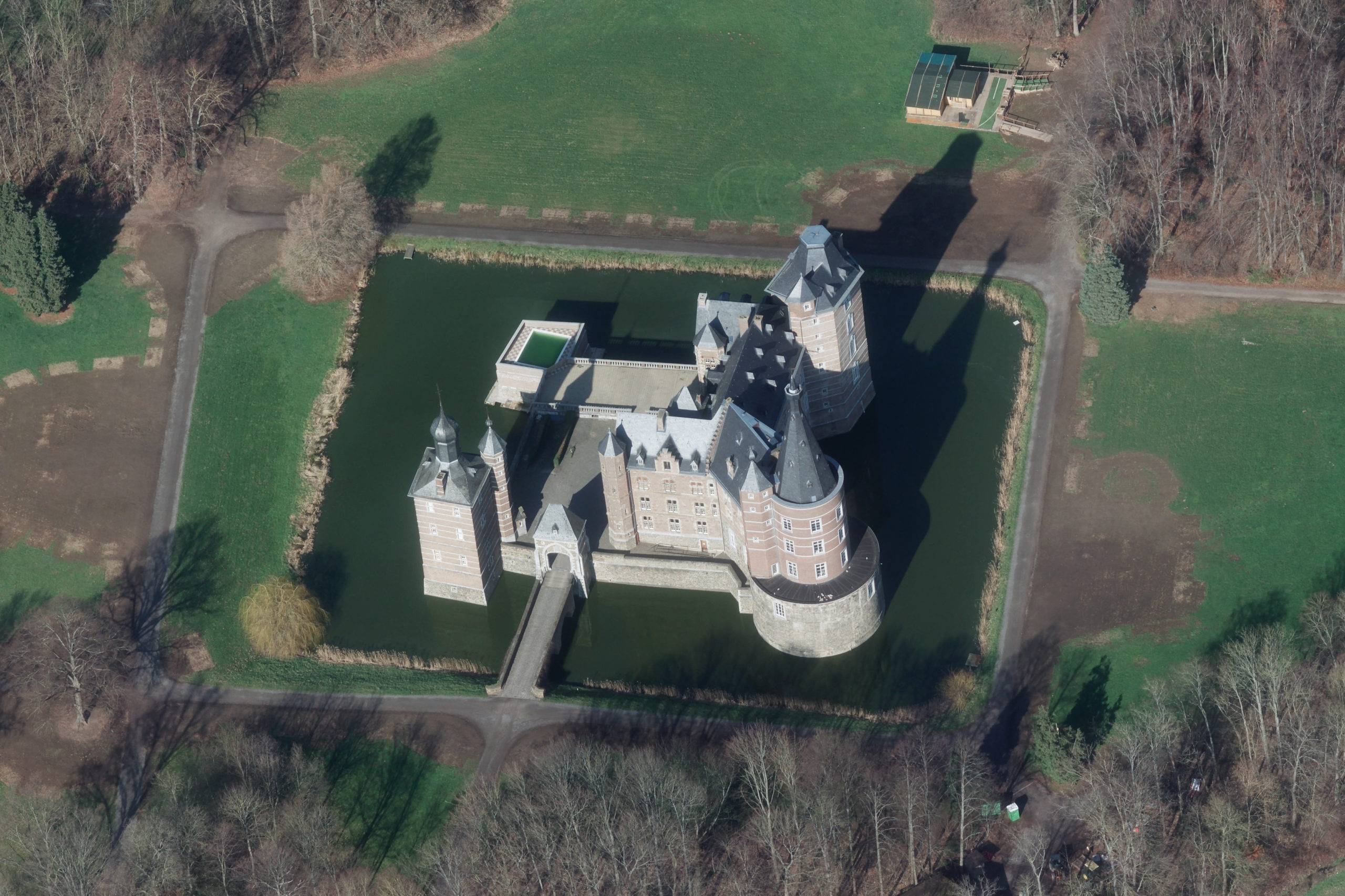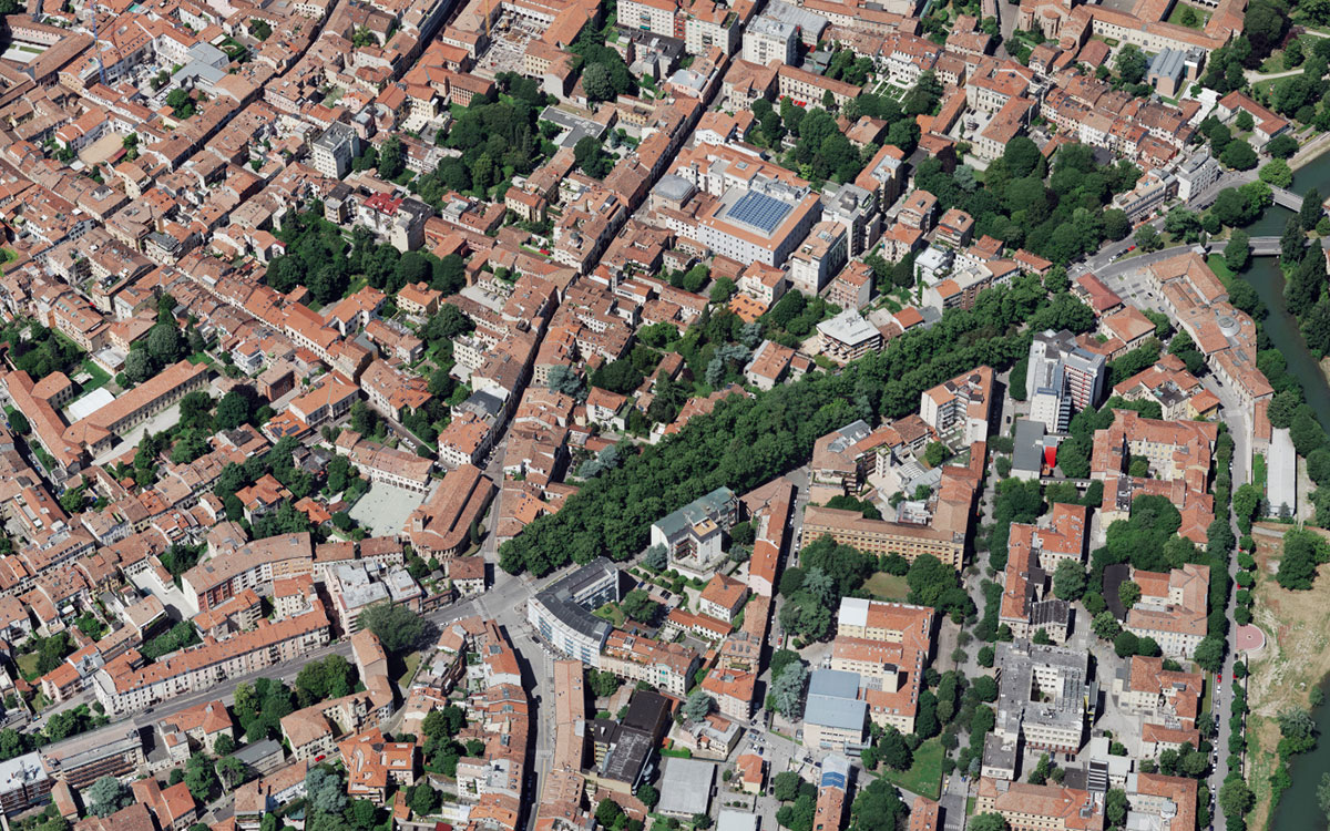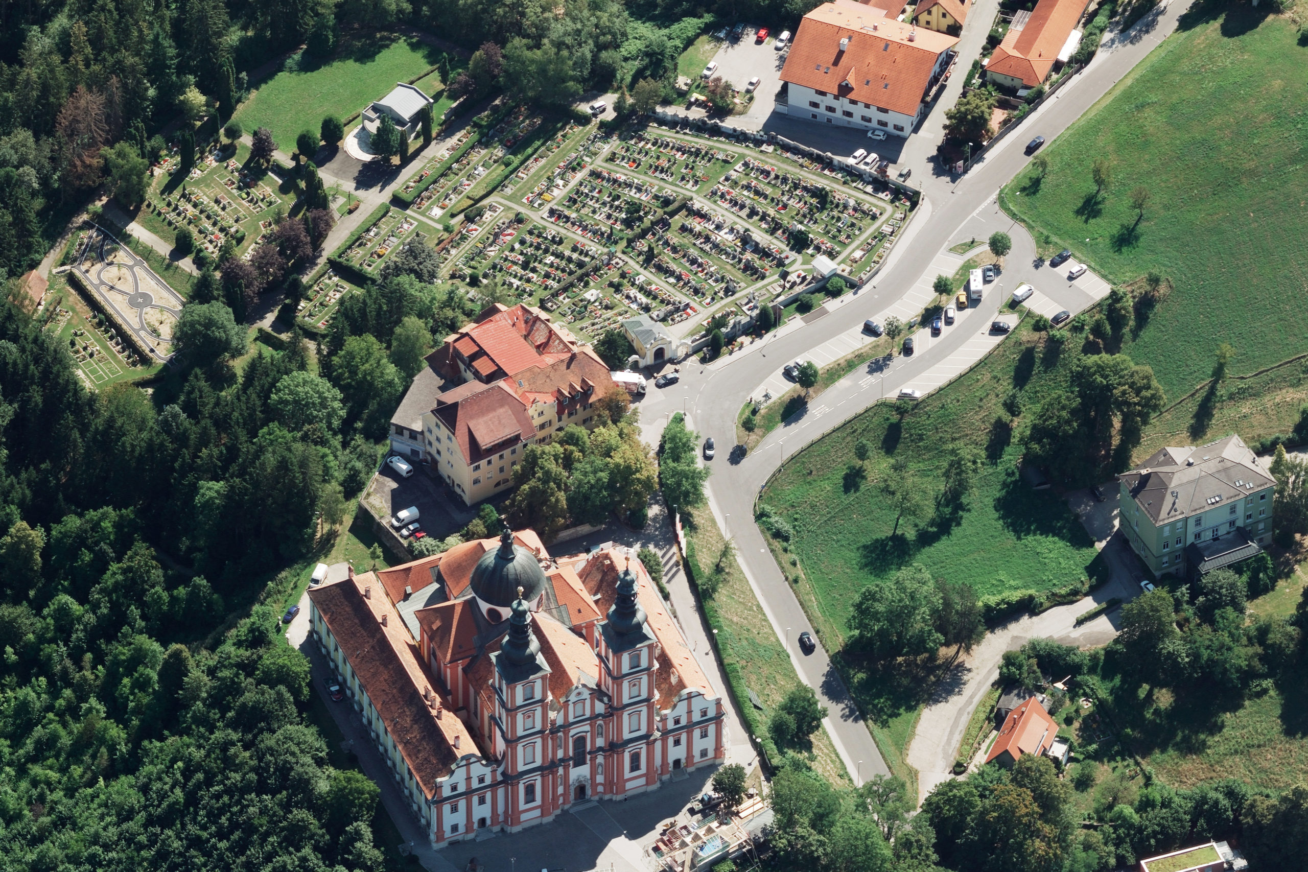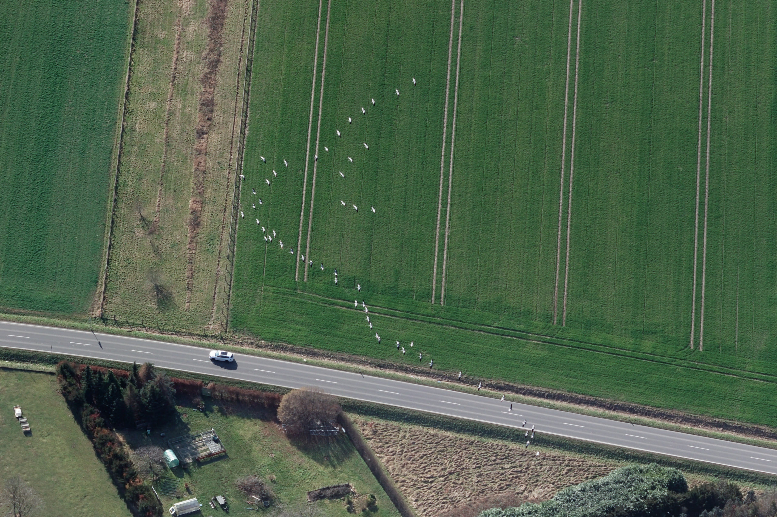
Oblique imaging
The use of oblique aerial images for photogrammetric purposes is today one of the most promising applications in the production of modern cartographic products.
Oblique aerial images are also understandable for non-experts and make it easier to gather information. The use of oblique images is advantageous for public institutions as well as for utility companies, transportation companies, project developers and planners.
The areas of application are many:
- Space planning: creation and texturing of building and roof models
- Building management: measuring the number of floors and building height
- Utility: registration and location of junction boxes and facade fixtures
- Traffic: mapping and visualisation of floor signs and traffic signals
- Safety: signaling escape routes and fire extinguishing systems
- Tourism and marketing: visualising local landscapes and recreational areas
In addition, measurements can be made directly in oblique aerial images. This reduces field work and improves data quality.
Use our in-house software for this measuree - a browser-based tool for surveying applications based on oblique aerial images. measuree enables the added value of oblique aerial images to be optimally utilized and makes it possible for technical employees of engineering offices, cities and municipalities to carry out surveys. This saves time (reduction of field service, increased efficiency, ...) and reduces costs (travel costs, equipment costs, ...).