June 2025
Rapid documentation of natural disasters
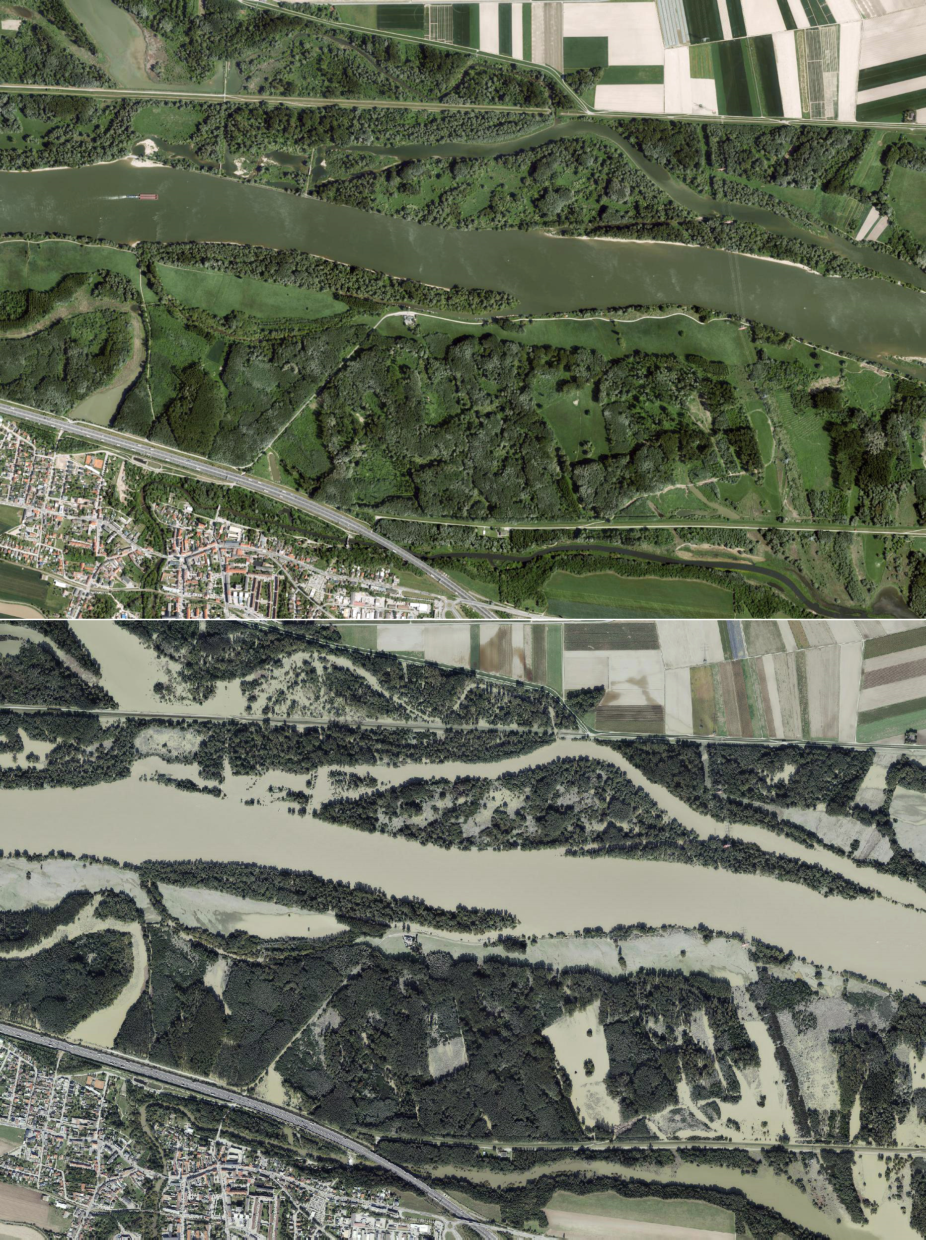
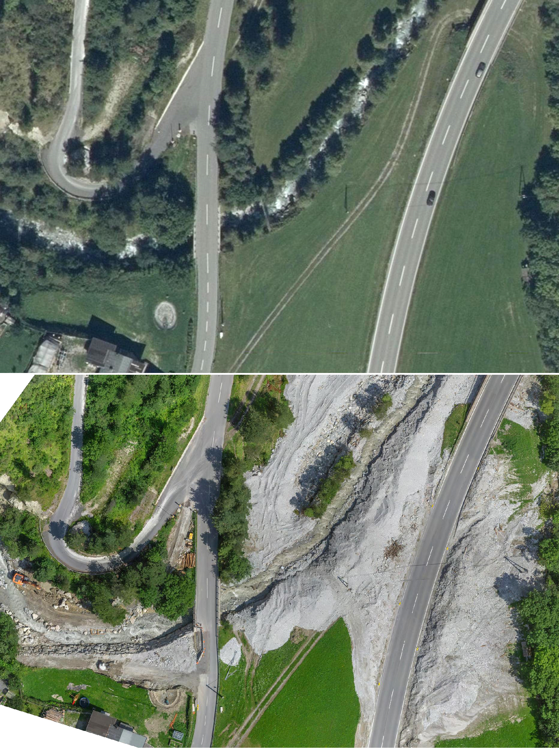
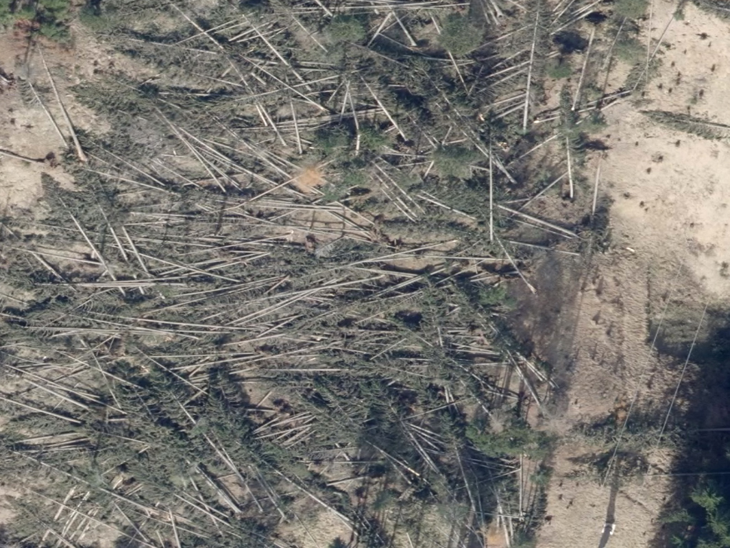
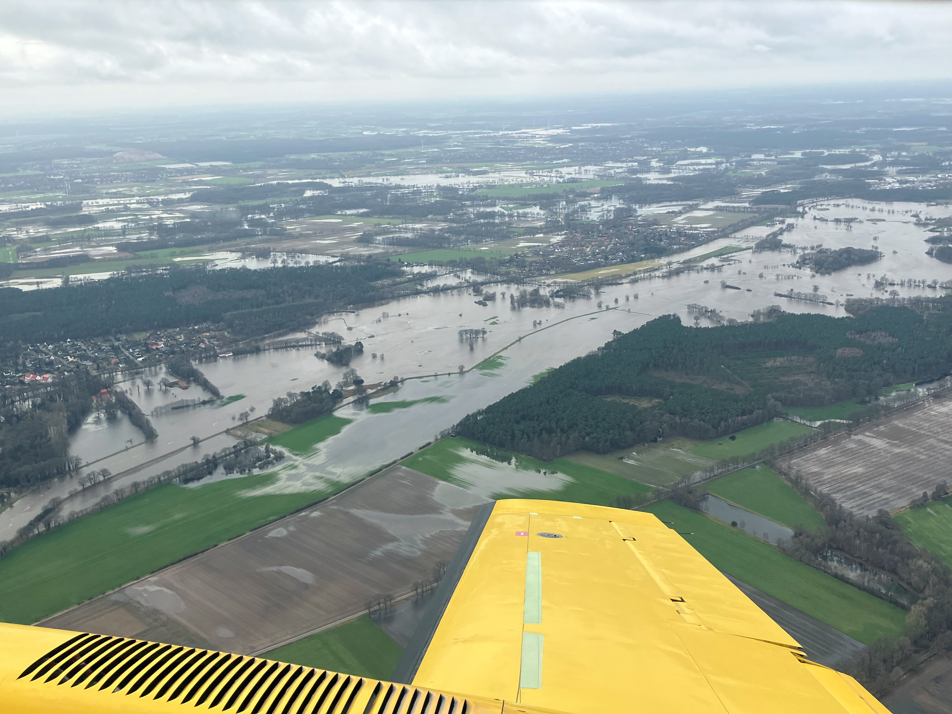
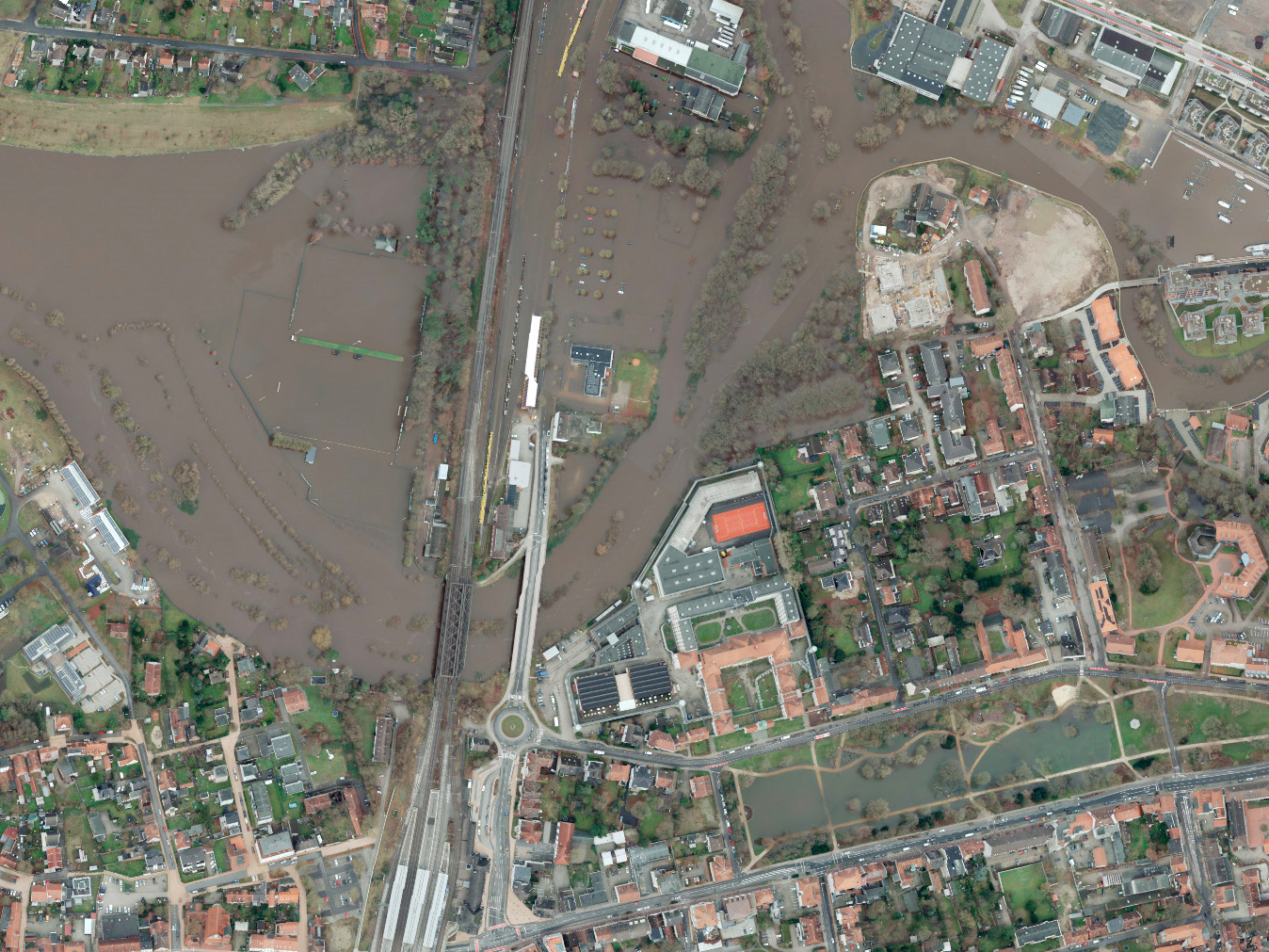
In a global context in which extraordinary climatic events are becoming more frequent and devastating, there is a need to intervene promptly and effectively to limit the damage and facilitate remediation and reconstruction operations. To be effective, rescue and interventions must be planned and coordinated with the greatest possible precision and a prerequisite is the documentation of the effects caused by the disaster. In this context, aerial surveying plays a crucial role and AVT Airborne Sensing can provide a complete, rapid and reliable service even in these critical situations.