Laser scanning and combined images
Efficient route inspections
We specialize in combined aerial surveys (images and laser scanning) for corridors such as railroad lines, freeways or river courses and have many years of experience in this field in a large number of project areas and for a wide variety of tasks. Our light aircraft includes a self-developed flight guidance and sensor stabilization, which allows us to fly curved flight strips with tight curve radii and strong lateral inclination without having to compromise on data quality. This allows corridors to be surveyed very efficiently.
Aerial survey with oblique aerial photographs
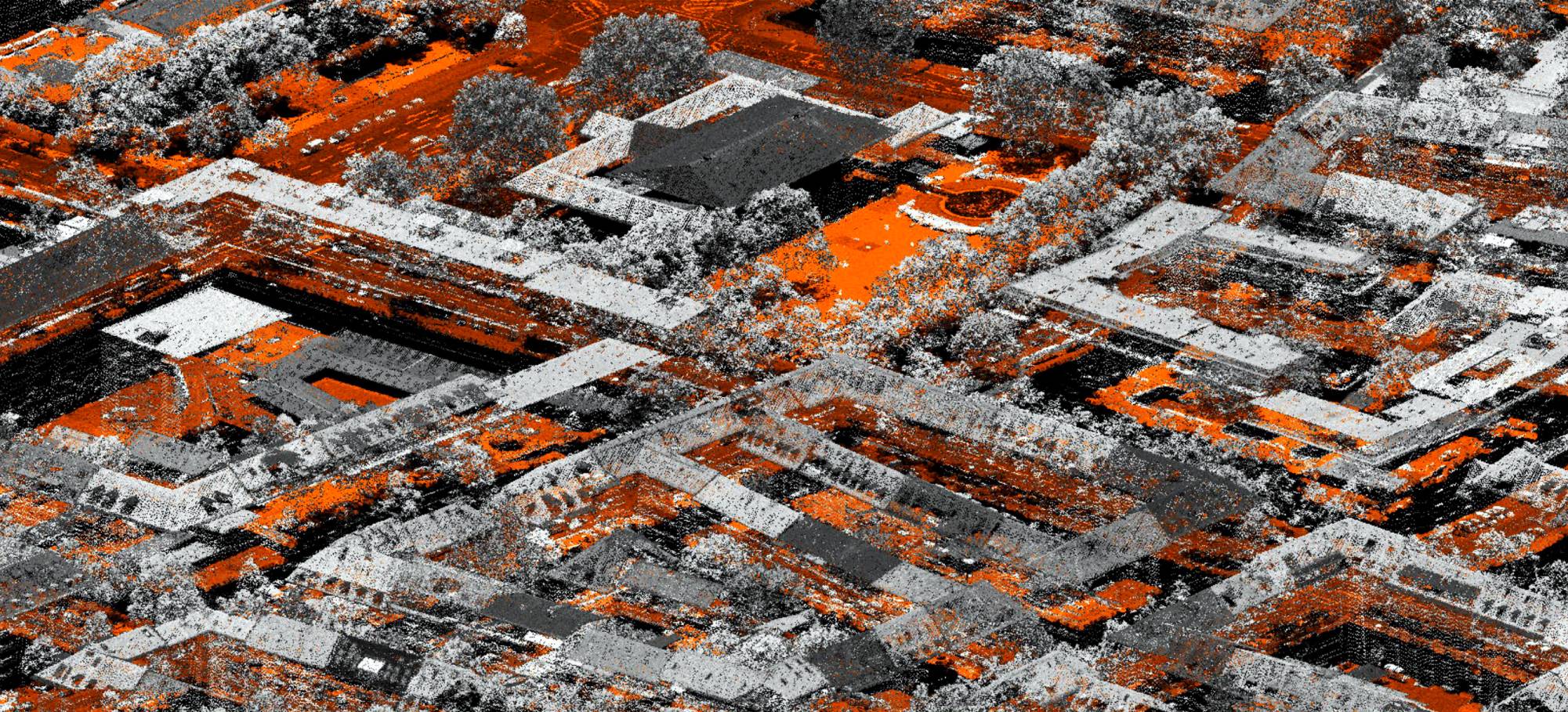
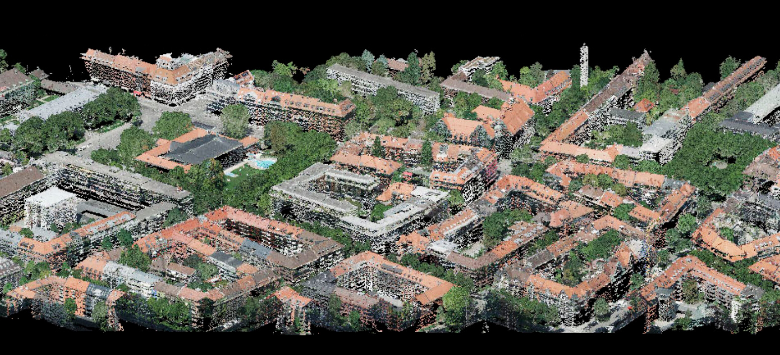
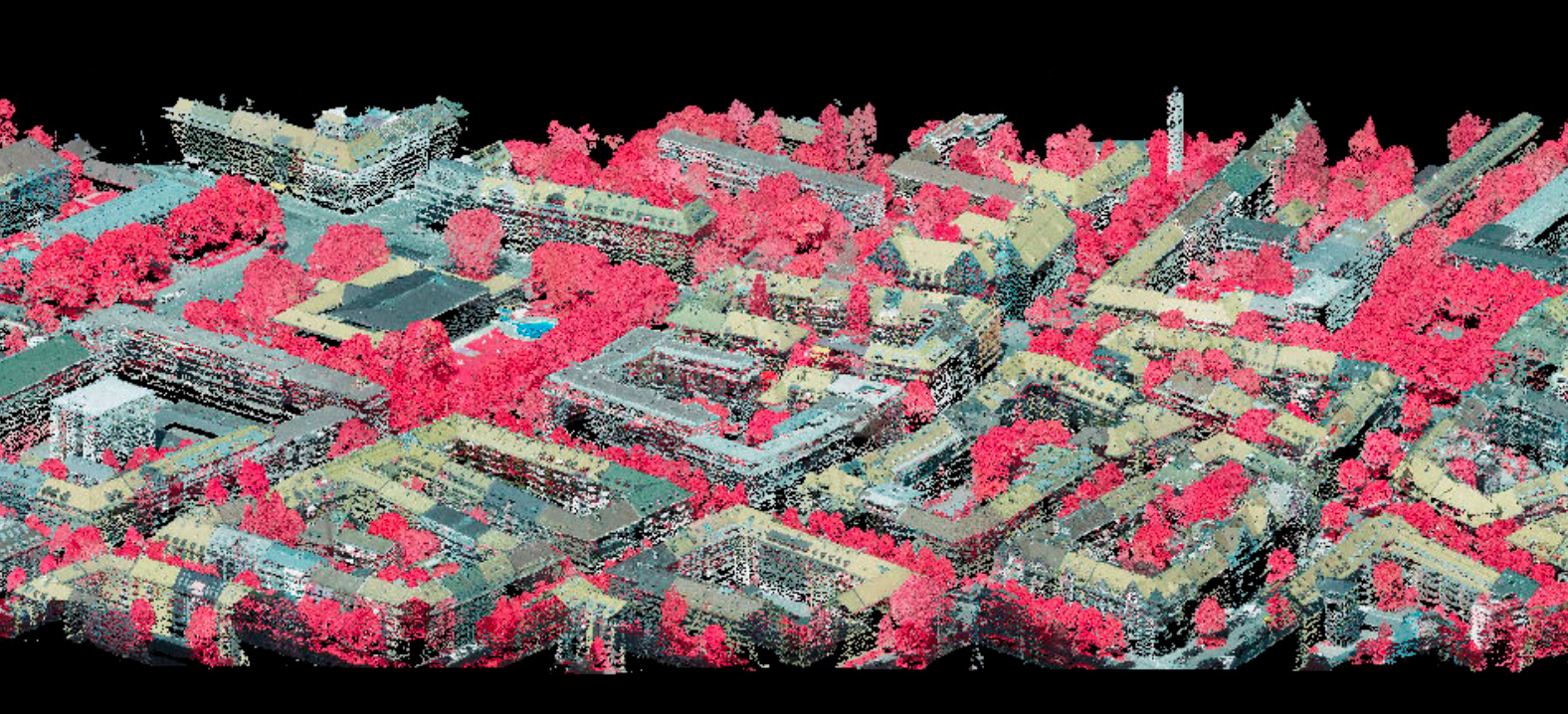
Since 2023, we have been carrying out combined oblique/laser scanning flights with one of our twin-engine aircraft, which have two ground openings for the sensor systems. These projects are carried out in particular for urban areas (our customers include the cities of Klagenfurt, Munich and Graz, for example) and form the basis for digital geo-twins.
Combination with special sensors
In addition to these standard combinations, we also carry out integrated aerial surveys with our thermal, hyperspectral and laser sensors. The combination of hyperspectral and laser images in particular provides very valuable data for forestry applications for assessing the vitality of the forest down to the individual tree.


